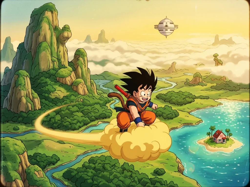
Dragon Ball’s Earth is organized into four cardinal regions, North, South, East, and West, plus a reference map that splits the world into 12 areas labeled A-1 through C-4. Once you understand that grid, the places from the series stop feeling like random backdrops and start to look like parts of one connected world. The labels give you a quick way to find your bearings, and the four directions show how characters move from one region to the next.
Most famous stories take place in a handful of core areas. Central City is Earth’s largest city and the capital of a federation that unites the world’s regions, as the official Dragon Ball Site’s World Travelogue explains. West City is the most technologically advanced city and home of Capsule Corporation. Those two cities act as anchor points, and the rest of the map fills in around them. Scale matters too. Goku’s village sits in the 439 East District, and Orange Star High School is about 1,000 km away, a trip Gohan can make in 20 minutes using flight and the Kintoun. Keep those distances in mind as you read, and the map will help you see how the story’s journeys connect.
Key Takeaways
- Dragon Ball’s Earth is a fictional world divided into four cardinal regions (North, South, East, and West) and a reference map of 12 areas labeled A-1 through C-4.
- The Dragon Ball Earth map does not match real geography, so its continents, seas, and cities should not be used to learn about the real world.
- To place a location on the Dragon Ball Earth map, check its area label first, then its cardinal direction relative to a nearby anchor city such as Central City, West City, South City, or North City.
- Goku’s village in the 439 East District is about 1,000 km from Orange Star High School, a trip Gohan can make in 20 minutes using flight and the Kintoun.
- Central City, West City, South City, and North City are the main anchor points of the Dragon Ball Earth map, and Papaya Island lies east of South City.
Where Does Dragon Ball Take Place on Earth?
Dragon Ball’s Earth is a fictional world, organized into four cardinal regions (North, South, East, and West) and a 12-area reference map. The directions and labels let you place the cities, islands, and wildernesses from the series, even when a story jumps from one corner of the planet to another.
The world is invented for the story. Its mountains, deserts, seas, and continents don’t line up with Earth’s real countries or oceans, so you shouldn’t use the map to figure out real-world geography. Some places may look familiar at a glance, but their positions were designed for the series.
The map is filled with named places of every kind. There are cities like North City and South City, islands such as Papaya Island and the small island where Kame House stands, and wild areas like the desert surrounding Uranai Baba’s Palace. Mountain ranges and highlands add more variety, and these fictional landmarks give fans fixed points to remember. When a battle or journey moves from one area to another, those names help you follow where the characters are headed.
The best way to use the map is as franchise reference material. Keep it open while you reread a favorite arc, and note which region each new location belongs to. Fan-made wikis and printed guides such as Dragon Ball Daizenshuu 4 can help you match names to the right scenes, so you can compare what you remember with what the series actually shows.
Think of the grid as a way to organize the story rather than a travel guide. Once you know which region a place sits in, you can tell at a glance whether a character had a long trip or only a short hop, and why the story keeps returning to certain spots. That’s the real value of the map. It gives you a consistent framework for the whole series, not a copy of the planet we live on.
How Is the Dragon Ball Earth Map Laid Out?
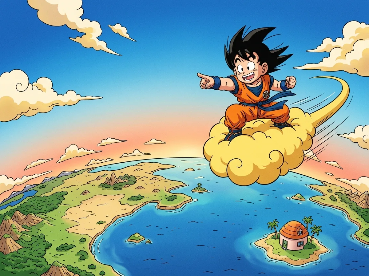
The Dragon Ball Earth map uses two systems at once. It is split into 12 labeled areas, from A-1 through C-4, and the same world is organized into four cardinal regions: North, South, East, and West. Together, the label and the direction tell you where a place sits on the map and how it sits next to its neighbors.
The labels form a simple grid. Letters A, B, and C run across the map as three columns, and numbers 1 through 4 run down it as four rows. Every area gets its own address, so you can say a place is in one specific square rather than just somewhere on the planet. The four cardinal regions are broader, so they work better for describing relationships between places than for pinning down exact spots.
When you compare two places, check the area label first, then the direction. The label gives you the general square each place occupies, and the direction tells you which side of the other place it lies on. That order keeps you from comparing a northern site with a southern one when the two are actually in different squares.
Dr. Gero’s laboratory is hidden in a mountainous northern area, and North City lies west of it. If you’re looking for North City, start in the north, then move west from the lab. The same method works for places in the far corners of the map. The Dr. Gero’s Laboratory Area feature is useful for checking these relative positions.
Other examples follow the same pattern. The Yunzabit Highlands sit on the far northwestern continent, and Yahhoi is south of the highlands. Papaya Island lies east of South City, and the Tenkaichi Budokai is held at a martial-arts temple there. Placing one location against a nearby city is the quickest way to build a mental picture of the map.
- Read the area label first to find the general square.
- Check the cardinal direction to see which side a place sits on compared with its neighbor.
- Use distance notes, like the roughly 200 km between Uranai Baba’s Palace and the Pilaf battle site, to judge how far apart two places really are.
Distance notes add a second layer. Uranai Baba’s Palace stands on a lake in a desert on a peninsula in the southwestern part of the central continent, and the Uranai Baba’s Palace feature places the Pilaf battle site about 200 km away. Knowing the direction and the rough distance together helps you see why a fight or a trip felt long or short in the story.
Kame House follows the same logic. It stands on a small island in the archipelago south of the central continent, so its position depends on the central continent as the reference point. When you move from one area to the next, ask which landmass you are starting from, and the direction will make more sense.
Which Cities Anchor the Dragon Ball World?
Central City, West City, South City, and North City are the main anchor points of the Dragon Ball Earth map. Most other places are easiest to place by measuring their position from one of them.
Central City is the largest city on Earth and the capital of a federation that unites the world’s regions. Because it sits at the center of that federation, it works as a home base for the rest of the map. When you’re unsure where a story is taking place, start by asking how far a location is from the federation capital.
West City is the most technologically advanced city in the series, and it is the home of Capsule Corporation. The company’s vehicles hold more than 40% of the worldwide vehicle market, which shows how much of the world’s transportation runs on products from one city. If you want to see why West City feels so different from the other hubs, the West City travelogue is a good place to start.
South City is a large metropolis in the southernmost part of the world. Its size makes it a reliable marker when you’re placing islands and coastlines on the map. The travelogue on Goku’s first encounter with Yajirobe places that meeting on a continent in the southern seas, where plains and rainforest border one another. That contrast means the south offers both busy city life and wild, open land.
North City lies west of Dr. Gero’s laboratory, which is hidden in a mountainous northern area. That pairing is useful because it links a city you can easily recognize with a secret location that many fans remember. If you’re tracking a story that moves through the northern mountains, North City gives you a fixed point to compare against.
Using the anchors well takes only a few steps. Pick the anchor closest to the place you’re studying, then note its direction from that city. Next, check the area label on the 12-area grid so you know which square it belongs to. Finally, write down the anchor and the label together, since a place described only by a city name can be hard to find later.
The anchor cities also help with scale. A capital, a tech hub, a southern metropolis, and a northern landmark cover a wide spread of the map, so you can quickly judge whether two events happened in the same region or on opposite sides of the world. Keeping those four points in mind gives you a sturdy frame for the rest of the series.
How Far Is Goku’s Home From School in Dragon Ball?
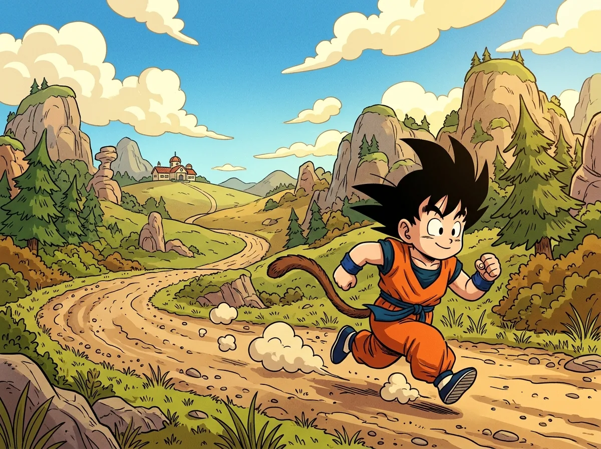
Goku’s home is in a small village in the 439 East District, and Orange Star High School is about 1,000 km away. The World Travelogue: Goku’s Neighborhood feature says Gohan can reach the school in 20 minutes using flight and the Kintoun, the flying nimbus cloud that Goku rides through much of the series.
Picture a 1,000 km trip on an ordinary road. Most people would plan it around a long drive, a train ride, or an overnight stay. In Dragon Ball, the same distance becomes a school commute that takes about as long as a short lunch break. That contrast is what makes this clue so useful, because it shows how much the story’s transportation changes the map.
Flight matters most here. A character who can fly doesn’t have to follow roads, rail lines, or coastlines, so mountains, cities, and oceans don’t slow the trip down. The Kintoun adds a second option for riders who can’t fly on their own. Together, they turn a long distance into a quick hop, which explains why characters travel between far-apart places so often without it feeling like a major journey.
The school trip also gives you a yardstick for the rest of the map. Once you know that 1,000 km is the distance from Goku’s village to the school, you can ask a few simple questions whenever a new location appears:
– Is the distance shorter or longer than the school run? – Does the character walk, fly, or ride the Kintoun? – Are the two places in the same area label on the grid, or in different squares?
Those questions turn a list of names into a rough mental picture. A place a few hundred kilometers from a city is a short hop, while a place across the continent is a serious trip, even for a flying hero.
Scale is also easy to misread. A distance in the story tells you how far two places are inside the series’ world, not how far they would be on a real planet. Use the 1,000 km figure to compare places within the Dragon Ball map, and let the direction labels and area squares handle the rest of the positioning.
Where Are the Islands, Highlands and Remote Landmarks?
Dragon Ball Earth’s islands, highlands, and remote landmarks sit along the coasts, across the seas, and in the far corners of the map. Each one can be placed by pointing to a nearby city, landmass, or region, and that reference point is the easiest way to find it.
Papaya Island is the simplest of these to place. It lies east of South City, the large metropolis in the southernmost part of the world. The island hosts the Tenkaichi Budokai at a martial-arts temple, so if you start at South City and look east, you will find the site of one of the series’ best-known tournaments.
Kame House stands on a small island in the archipelago south of the central continent. An archipelago is a group of islands scattered close together, so Kame House is one small dot in a cluster rather than a lone island. The house can be packed into a Hoipoi Capsule and moved elsewhere, which makes it unusual among the map’s landmarks.
Uranai Baba’s Palace sits in the southwest of the central continent, on a peninsula. A peninsula is a stretch of land that juts out into the water, and here the palace stands on a lake inside a desert. Because both Kame House and this palace are measured against the central continent, you can link the two on the map by starting from the same landmass and moving south, then southwest.
The southern seas continent works differently. It is not part of the central continent, so reaching it means crossing open water. This is the landmass where Goku first meets Yajirobe, and it reminds you that the southern edge of the map holds separate landmasses, not just the coastline around South City.
The Yunzabit Highlands are on the far northwestern continent, well outside the core cities. Yahhoi lies south of the highlands, which gives you a second point to check when you trace the area. Dr. Gero’s laboratory is also tucked into a mountainous northern area, but the highlands sit farther to the northwest, so don’t confuse the two when you plan a route.
Flight changes how these distances feel. A character who can fly doesn’t need roads, bridges, or ferries, so a trip to an island or across a sea can be as quick as a hop across the map. That is why a remote landmark can still feel close in the story, even when it looks far away on the grid.
Where Are the Training Grounds and Hidden Places?
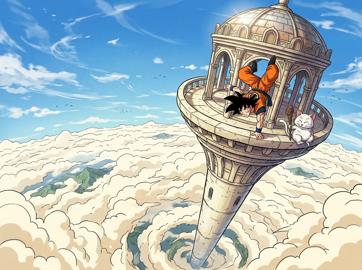
The main training grounds and hidden places in Dragon Ball Earth are Karin Sanctuary, Kami’s Palace, the Room of Spirit and Time, and Dr. Gero’s concealed laboratory in the northern mountains. Each one has a fixed position, and that position explains why characters travel there and how their journeys feel in the story.
Karin Sanctuary is a good place to start because its layout is so clear. The World Travelogue on Karin Sanctuary and Kami’s Palace places Karin Tower below Kami’s Palace. That vertical stacking means a character climbing toward the palace is moving up through a set of connected sites, not wandering between unrelated locations.
The Room of Spirit and Time works differently. One year of training inside it equals one day outside. Characters can spend a long stretch of time sharpening their skills while the outside world barely changes. That gap lets the story set up a major fight without needing months of waiting on screen.
Dr. Gero’s laboratory is a different kind of hiding place. It is concealed in a mountainous northern area, so a visitor has to travel into rugged country to find it. Mountains work well for a secret project because they block easy access and keep the lab out of sight of the busy cities. North City lies west of the lab, which gives you a nearby landmark to aim for.
Distance adds another layer. The Pilaf battle site is about 200 km from Uranai Baba’s Palace, and that gap changes how the story moves from one scene to the next. Hidden sites and battle sites are often separated by long stretches of land, so the trip itself becomes part of the tension. When you read about these places, keep a few details in mind:
– Karin Tower sits below Kami’s Palace, so it is part of the same vertical chain. – The Room of Spirit and Time runs on a fixed ratio, with one year inside for each day outside. – Dr. Gero’s lab is hidden in the northern mountains, away from the main cities.
Checking these details against the map helps you see why a training session feels quick or slow, and why a secret base feels so isolated. Each site has a clear role in the layout, and the layout gives the story its shape.
Does the Dragon Ball Earth Map Match Real Geography?
No, the Dragon Ball Earth map does not match real geography. It is a fictional world built for the series, so its continents, seas, cities, and islands were designed for the story rather than copied from our planet.
The official Dragon Ball Site published its World Travelogue features between June 2021 and February 2022. Those notes give relative locations for places such as West City, Central City, Papaya Island, and Kame House, along with a few scale cues. They are best read as franchise reference material, not as a real-world atlas.
The travelogue notes add story context by telling you which place sits near which landmark. Papaya Island lies east of South City, so a reader who remembers a tournament scene can place it by starting from a familiar city. Kame House is described in the Kame House Area travelogue, which dates to January 2022, as a small island in an archipelago south of the central continent.
Names and layouts are fictional throughout. A country, ocean, or mountain range on the map does not stand for the real place with the same name, and the grid labels from A-1 through C-4 are an organizing tool for the series. Distances are also in-world figures. The roughly 1,000 km between Goku’s village and Orange Star High School tells you how the story measures space, not how far apart two spots would be on Earth.
If you compare the map with a real atlas, you will find that the two rarely line up. That mismatch is expected. Use the franchise notes to follow the characters’ journeys, and treat the real world as a separate reference.
Planning Your Own Dragon Ball Map Tour
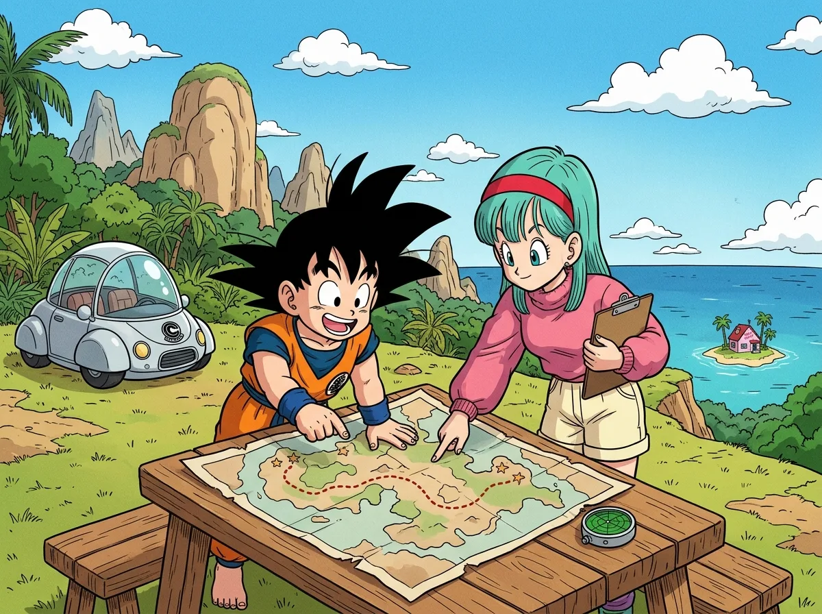
Start with the South region, which mixes busy city life with open water. Its main places are South City, the large metropolis in the southernmost part of the world, the southern seas continent where Goku first meets Yajirobe, and Papaya Island, which lies east of South City. Use them to build your own mental map on a blank sheet of paper, one step at a time.
- Mark Central City near the middle of the page and label it as the federation capital.
- Place West City on the same page and note that Capsule Corporation is based there.
- Draw a line from West City toward Papaya Island, and add South City as a reference point so you can see that the island sits east of it.
- Write down that Goku’s village in the 439 East District is about 1,000 km from Orange Star High School, a trip Gohan can make in 20 minutes.
- Compare the Central City to West City trip with that school run, and decide which one feels longer.
Keep the sheet beside you during your next rewatch, and add a note each time a new place appears.
Testing the Map With a Single Story Arc
Pick one story arc you already know well and use it as a test run. Choose the scenes where the characters travel from one place to another, then write each location on its own note card. A single arc keeps the tour manageable and makes mistakes easy to spot.
Next, draw a grid of 12 boxes with three columns labeled A, B, and C and four rows numbered 1 through 4. Place each card in the box that matches its area label, and write its cardinal direction beside it. If a location’s square isn’t clear from your notes, leave the card off the grid for now instead of guessing.
Then link each card to an anchor. Ask whether the place sits closest to Central City, West City, South City, or North City, and draw a short arrow from that city to the location. Beside each arrow, note whether the trip looked short or long on screen, and compare it with the 1,000 km school run from Goku’s village.
When the grid is full, reread the arc and check every arrow against what the characters actually do. Places that seem out of step are worth a closer look, since they often show where a flight or the Kintoun changes the distance. Keep the finished grid with your notes, then repeat the process with a different arc.
Frequently Asked Questions
1. Where can I find the official Dragon Ball Earth map information?
The official Dragon Ball Site is the best place to start, since its World Travelogue features cover West City, Central City, Papaya Island, Kame House, and other places. Those features give relative locations and scale cues, such as the roughly 1,000 km trip from Goku’s village to Orange Star High School. Use them as franchise reference material rather than a real-world atlas.
2. When were the official Dragon Ball Earth travelogue features published?
The official World Travelogue features were published between June 2021 and February 2022. The Central City Area feature came out in June 2021, while the Tenkaichi Budokai Arena feature appeared in February 2022.